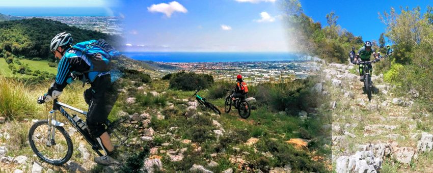
It is an ancient path used by shepherds and farmers to reach Terracina from Campo Soriano and the surrounding area. In more recent times it was mostly frequented by hunters and by sporadic hikers on the Via Francigena del Sud. Lately it has been underwent a big mantaining work and in the 1st of April 2017, in conjunction with the event Take Care of Your Trails by IMBA, it has been added to our mountain bike trail network. Now all-mountain lovers can enjoy it.
As previously mentioned, the trail is one of the segments of the dense network of the “Via Francigena del Sud” and therefore is marked with the characteristic yellow signs. However, the these indications are designed to lead the pilgrims from south to north and sometimes are hidden and not very clear for those who follow the trail in the opposite direction (like mountain bikers).
The trail-head is in the picnic area in the Tre Pozzi place near Campo Soriano. After a first section in the wood at the beginning quite fluid, then gradually more impervious due to steps and large rocks, it comes out in the open with even more stepped and outcropping rocks. After about 50 meters from the exit from the wood, immediately after two sharp bends (which can be cut following a steep stretch that is not exactly easy), the trail becomes less uneven but not easier. Now the slope is lacking that in the previous section allowed a sufficient speed to overcome obstacles. Now it is required a good rhythm: pedaling when you can and let the bike float over obstacles when they arise. The trail continues like this for about 500 meters until you reach a large green clearing where it is possible to take a breath.
The trail continues on the opposite side (on the east) of the clearing going on the left with respect to the direction of travel (Photo 1). It crossess another smaller clearing after which the trail suddenly turns to the left with a small uphill climb (Photo 2).
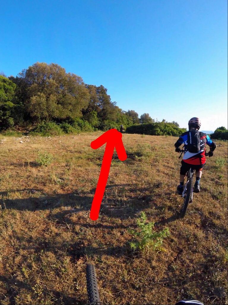
Photo 1 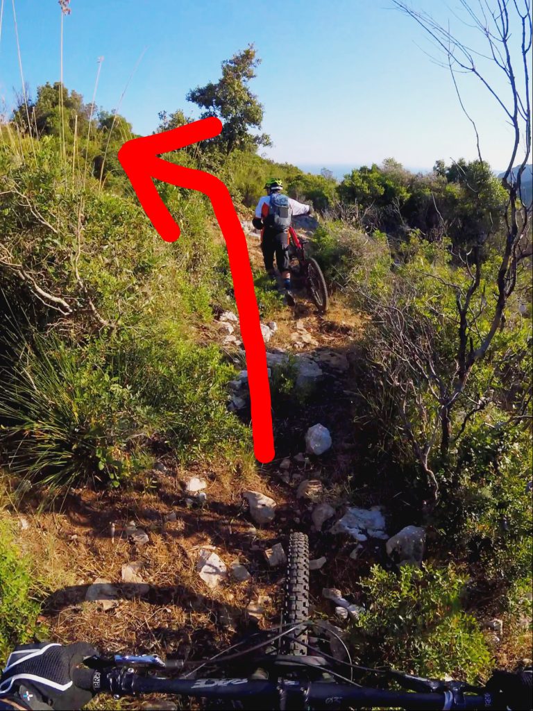
Photo 2
It follows another challenging section with narrow hairpin bends and high steps. Fortunately, the (negative) slope significantly increases allowing us to overcome obstacles more easily. After about 350 meters from the clearing a beautiful view opens up towards Terracina and the Circeo.
The next 350 meters are maybe the smoothest and fastest of the trail. However it is needed great caution due to protruding rocks and 6 non-trivial hairpin bends.
The next section contains the most challenging 170 meters of the trail that require excellent control of the bike: tight bends, drops and crossings on rocks. Fortunately, the rocks are always firm and with good grip.
After a elatively quiet segment along a barbed wire fence we reach a crossroad: here we must turn on the left, overcome the rocky slabs and reach the clearing (Photo 3). This must be crossed along the longest side (Photo 4). Then, we slightly turn to the right and take a easy single-track that will become a fire road till the end of the trail.
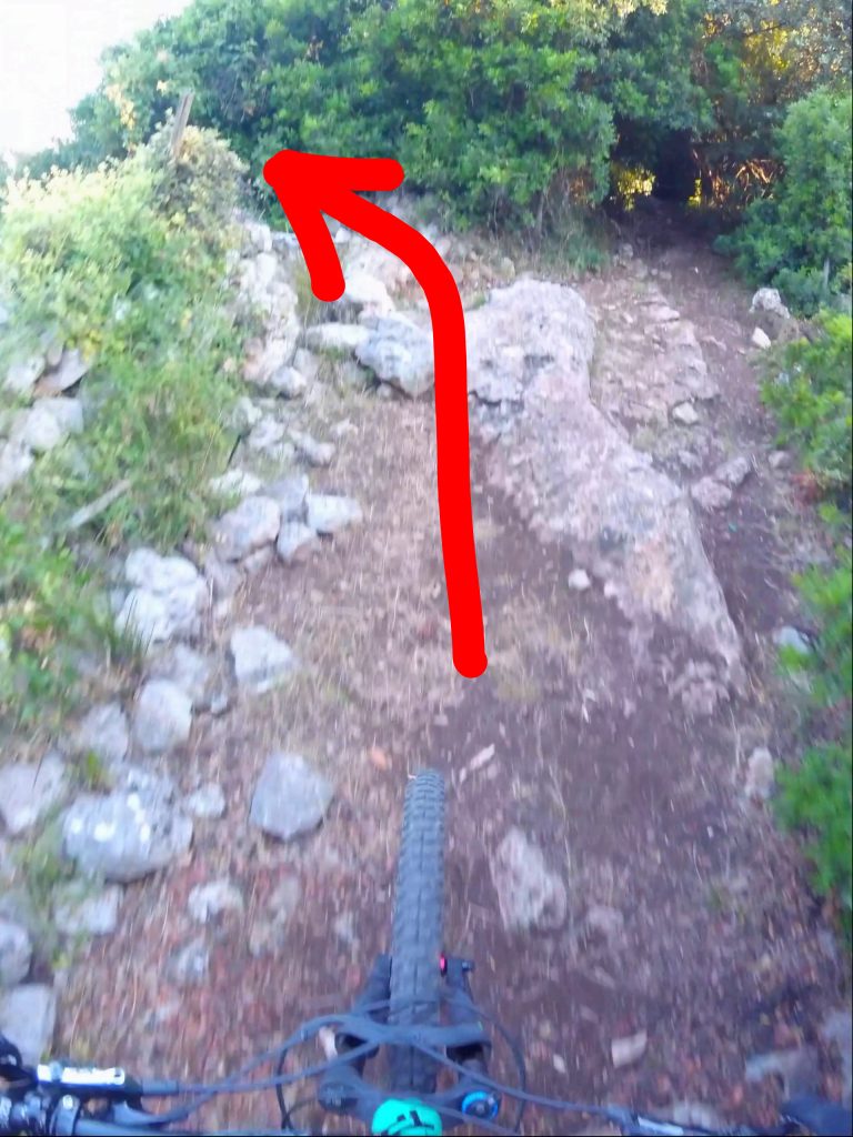
Photo 3 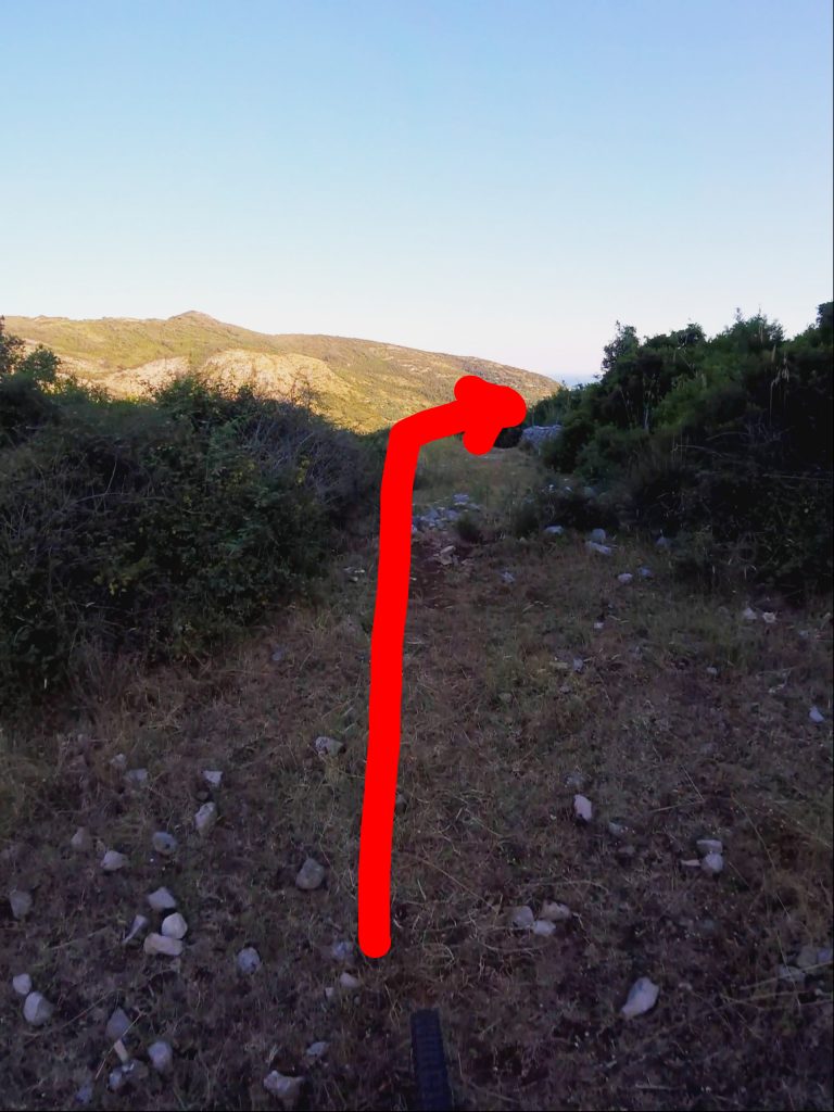
Photo 4
Technical data
- Length: 2900 meters
- Elevation gained: 338 meters
- Elevation lost: 12 meters
- Conformation: Compact rocky surface with high steps.
- Difficulty: Mostly S2 with long S3 sections.
- GPX track: right click and Save As… on the link to download.


 Italian