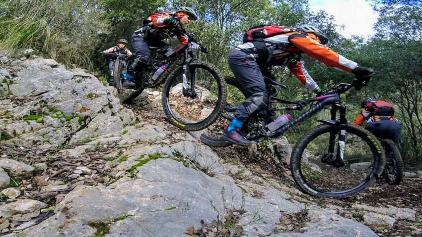
Let’s start with the painful notes, the trail is very short. After the first 750 meters nothing interesting, so for some it may not be worth reaching 470 meters (from zero) to then consume a large part of the elevation gained on a unpaved road. If instead you are on the “Cavallo Bianco” or in the Campo Soriano area, and you are looking for a way to get reach Terracina on a trail that does not require the technical skills of 3 Pozzi, this trail could do for you.
The trail starts from Franquillara so from Campo Soriano follow the directions for this location. For the precise point refer to the attached GPS track, the trail entrance is easily identifiable in an clearing next to an isolated house .
At the start you can choose two lines that join after about 10 meters. The one on the right is characterized by a quite challenging rock garden. After this stormy start, the trail becomes more regular and characterized by compact undergrowth and sliding stone slabs that can be insidious with wet. After about 590 meters we meet a 180 degree curve to the left; after 10-15 meters pay attention at the crossroads, here the trail bends to the right. After this junction starts a slightly more challenging section that ends with a left turn characterized by a sudden change of slope. Here end the 750 meters we were talking about at the beginning. From this point on the trail becomes wider and smoother on a track what was used to install power lines. In this last section, which will lead to the paved road, we must paid attantion to a series of cattle gates that are closed at certain times of the year.
Technical data
- Length: 1100 meters
- Elevation gained: 166 meters
- Elevation lost: 0 meters
- Conformation: Compact earthy with several slippery stone slabs in the wet periods. Outcropping rocks and short rock gardens.
- Difficulty: Mostly S1 and S0 with two short sections S2.
- GPX track: Right click and Save As… on the link to download.


 Italian