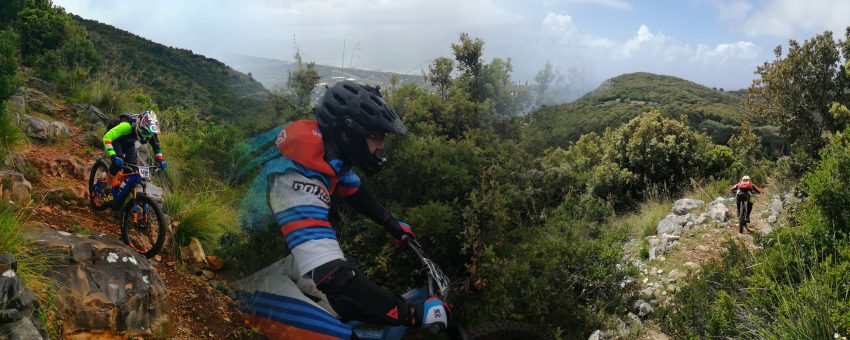
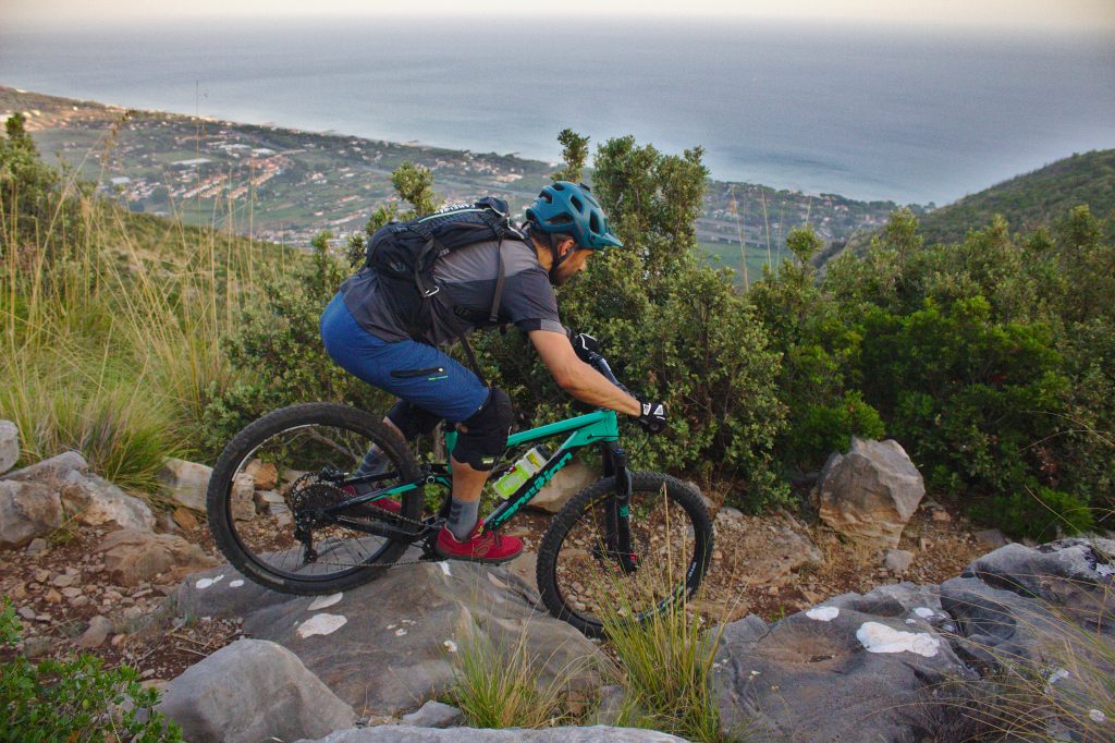
Probably the real star of the first edition of the Terracina e-Trail Challenge. Today it is very popular between walkers and trail runners as well as mountain bikers but, until 2018, the trail was almost abandoned. Thanks to the hard work of cleaning and restoring by local bikers you can finally ride the most scenic trail of our territory. This runs along the eastern slope of Monte Giusto and connects the areas of Santo Stefano and Ciana and, together with Mammolini trail, closes the ring of the Via della Legna and del Carbone described by Prof. Emilio Selvaggi.
Unfortunately in the summer of 2019 the trail was affected by several fires which, although not having damaged it, left visible signs along the path and in the surrounding vegetation.
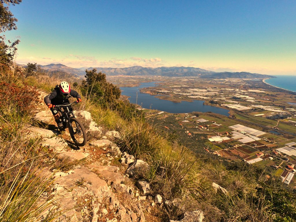
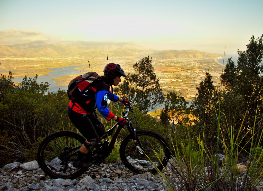
The trail-head is about 500 meters from the Fonte di Santo Stefano towards Monte Pilucco on the right of the paved road, immediately behind a clearly visible clearing. It starts with a moderately technical, slightly uphill, followed by a long sliding section interspersed with short rock gardens in a holm oak forest. Leaving the wood, after about 600 meters from the beginning of the trail, a spectacular view opens up (now partially disfigured by the summer fires of 2019) on the lake of Fondi and on the coast south of Terracina up to Sperlonga. Just the time to admire the view and here we are again in the woods from which we will come out definitively after other 500 meters that end with a short cycled section and a couple of steps that require a driving skill. We are out of the woods again, on the left the breathtaking view panorama of the plain on south Terracina and in front of us other 400 meters slightly uphill on rocky ground with gravelly stretches and partially occupied by rocks collapsed on the trail.
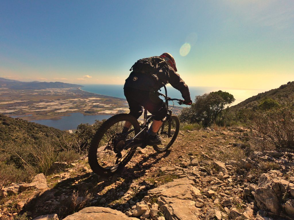
This section ends on a ledge of Monte Giusto facing south at about 400 meters above sea level. From here we can enjoy a remarkable view that goes from Sperlonga to the coast of Sabaudia. The ideal spot to catch your breath before tackling the hardest part of the trail.

The last 600 meters are the most challenging from a technical and physical point of view. Here we will lose the last 125 meters of altitude for an average gradient of about 20%. The surface is rocky and compact with several challenging passages on steps and outcropping rocks that require a good driving skills in order to avoid “over-the-bars”.
This is a typical “all-mountain” trail with many flowing sections, up-hill and down-hill technical sections, challenging rock gardens. All this is surrounded by landscapes of rare beauty.
Technical data
- Length: 2300 meters
- Elevation gained: 258 meters
- Elevation lost: 51 meters
- Conformation: In the wood earthy and compact with short rocky sections; in the middle uphill section slightly rough rocky; in the final section rocky stable with steps and stone slabs.
- Difficulty: In the wood S1 with short sections S2; S1 in the middle slightly uphill section; mainly S2 with very short sections S3 in the last segment.
- GPX track: right click and Save As… on the link to download.


 Italian